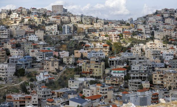
Palestinians in Israel
Tracing the Historical Relevance of Race in Palestine and Israel
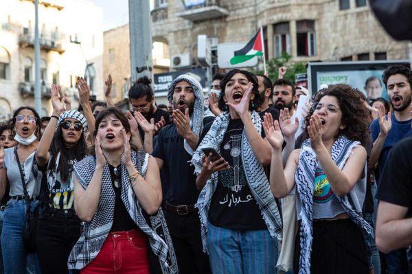
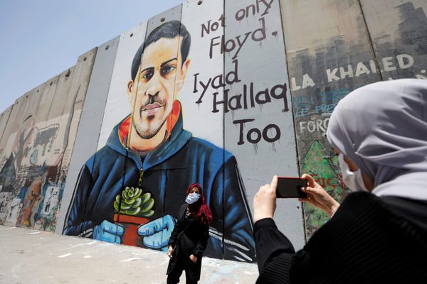
The global conversation about race and racial oppression in recent years, which has reached new levels of visibility since the summer of 2020, has emerged largely as a reaction to police violence in the United States and the work of the Movement for Black Lives coalition. Its global reverberations h