nakba

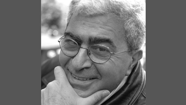
'Dream, My Grandchild'—An Interview with Sara Abu Ghazal
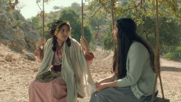
[su_dropcap style="simple" size="4"]I[/su_dropcap]n September of 2023, Roba AlSalibi interviewed Sara Abu Ghazal, a Palestinian writer and feminist activist about her Arabic short story collection, Dream, My Grandchild. The book uses multiple voices to chronicle the story of the Abu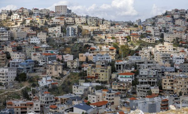
Urban Planning and the Struggle Against Israel's Spatial Domination
Located in Wadi Ara within the Green Line, Kufr Qara is a Palestinian town of 20,000 residents. Before the Nakba, its land spanned 28,000 dunums (roughly 7,000 acres), but today, Israel has left it with less than 8,000 dunums (fewer than 2,000 acres). The town