Lama is an architect and urban planner who graduated from Cornell University. She currently works in planning for '48 Palestinian towns.
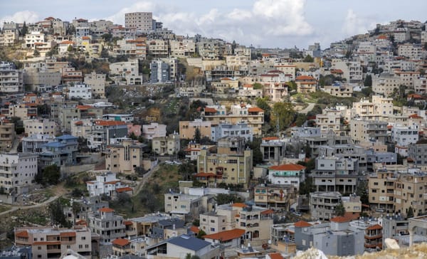
A view of Wadi Ara in 2020. Ahmad Gharabli/AFP via Getty ImagesRegional map of Nahariya, Acre Sub-District, Palestine, indicating present and planned land use; Survey of Palestine, 1941. Revised in 1942 to include new second-class roads (in blue, see legend) bypassing previous route through Palestinian villages. Map also includes Palestinian villages that were later depopulated (e.g., Ghabsiyye, Um Al Faraj, Kueikat, En Nahr and Al Kabri). [To view details, see the map’s Wikipedia page.] The Eran Laor Cartographic Collection, National Library of Israel.